
Dayara Bugyal Trek Altitude: Different Campsites and Summit
The Dayara Bugyal trek is one of the most popular Himalayan treks in Uttarakhand, renowned for its majestic meadows and picturesque forests. Typically, the trek lasts 4 days starting from Natin village, with a maximum altitude of approximately 12,000 feet (3650 meters).
Overview & Key Altitudes
- Summit (Dayara Bugyal Peak): 3,650 m or 12000 ft
Some common camp Altitudes
- Base/start Village : Natin: 2250 m or 7400 ft
- Gui Campsite: 2,800 m or 9186 ft
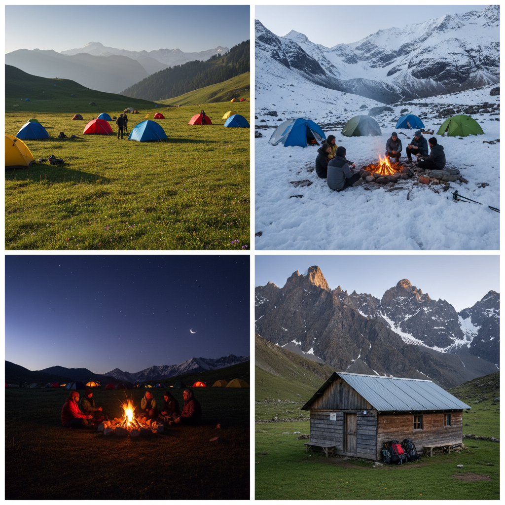
Now, let us see the day-wise altitude gain during the Dayara Bugyal Trek
Day | Route | Start Altitude | End Altitude | Approx altitude gain/ loss | Highlights and notes |
Day 1 | Dehradun to Natin drive | Approx 640m or 2100 ft (Dehradun) | Approx 2250 m or 7400 ft | 1610m altitude gain mostly by vehicle; trekking begins next day. | It is quite a long drive (Approx190 km, 8-10 hours). Take Rest, acclimatize. |
Day 2 | Natin to Gui | Approx 2250 m or 7400 ft Summit at 12,000ft or 3650m | Approx 2250 m or 7400 ft | Approx 550m of altitude gain. Since the altitude gain is less than 1000m. your body can acclimatize easily. All you need to do is drink water and follow the TL instruction. | This is about 4 km walk through pine/maple forest; some steep climbs, stream crossings. Good day for setting pace. |
Day 3 | Gui to Dayara Bugyal and back | Approx 2,800m or 9,186 ft | Approx 3350 m or 11,000 ft | + Approx 575 m altitude gain. | Long day in distance approx 6km opens up into meadows; excellent views of surrounding peaks. |
Day 4 | Base camp to summit, descend to Tali camp | Start Approx 3,350 m or 11,000 ft → Summit at 12,510 ft 3,813 | Approx 3300 m or 10,823 ft at Tali | Net gain of Approx 463 m to summit, then descend to almost same altitude of around 3300 m | The climb is the hardest stretch of the trek. After enjoying the summit, descend downhill to Tali. |
Day 5 | Tali to Natin | Approx 3300 m or 10823 ft | Approx 1260 m or 4,131 ft through trek | Approx 2040 m descend to Natin after 4km trek and 52km drive. | Shorter trek, mostly downhill; relaxing as you descend via forests. Once in Natin, you can relax as this will be your last night of the trek. |
Day 6 | Natin To Dehradun | Approx 1260 m or 4,131 ft | Approx 640m or 2100 ft (Dehradun) | Easy Drive crossing through Prayags | Arrival at Rishikesh around 5pm Arrival at Dehradun around 7pm |
Tips for the Dayara Bugyal trek schedule:
- Acclimatization and Pace – Although the trek is Easy – Moderate, walking too quickly can cause altitude sickness. The increase from approximately almost negligible sea level to between 3,400 and 3,800 m over a few days is substantial.
- Snow and Weather – In winter, the trail near the summit is often snow-covered; therefore, early morning starts and appropriate gear like gaiters and Microspikes are crucial. Temperatures can fall sharply.
- Trail Conditions – The Trail conditions include streams, rocky patches, and steep forested climbs, especially on Days 3 and 4. The descent from the summit is lengthy but provides relief to the knees following the steep ascent.
- Distance Vs Time: The horizontal distance of each day isn’t huge (4-6 km typically on trekking days), but altitude gain and terrain make walking slow, especially near the summit day. Plan conservatively.
- Things not to forget : Other than the essentials Toiletries, Lunch Box, personal medications if any, Energy Bars
- Medical Certificate: Medical Certificate is mandatory for this trek. Medical happens in nearby hospital at Natin or Joshimath.